
As part of the Vision Zero Central Florida initiative, MetroPlan Orlando provides a variety of safety-focused interactive tools to help monitor and visualize safety data.
Some of these tools are designed to help local government planners create a transportation system that is diverse, safe, and efficient. Others are geared to help the public learn more about the issues surrounding safety.

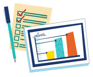
Crash Data Dashboard
This online dashboard contains crash data from 2018-2022 from the Signal 4 Analytics statewide database. The tool includes maps and summary statistics for Orange, Osceola, and Seminole Counties. Data can be filtered by year, county, city, mode, severity, and time of day.
SAFETY TRENDS REPORT
This online Story Map visualizes regional crash trends in several ways. It breaks down 2018-2022 data by type, user, response time, and other factors. It highlights crash hotspots and explores a variety of factors, including night-time (lack of lighting), alcohol-involved, and excessive speeding-related crashes.

HIGH INJURY NETWORK MAP
The viewer can be filtered to display the High Injury Networks for each county and municipality within the MetroPlan Orlando region. Selecting each segment will show the numbers and types of crashes.

STATEWIDE TRAFFIC SAFETY DASHBOARD
This dashboard and analytics system receives data from the Florida Department of Highway Safety and Motor Vehicles. The viewer is provided by Signal 4 Analytics.
VISION ZERO CONTACTS
Public Information Manager: Mary Ann Horne | MaryAnn.Horne@MetroPlanOrlando.gov
Program Manager: Lara Bouck, PE AICP | Lara.Bouck@MetroPlanOrlando.gov
¿Hablas Español? Adriana Rodriguez, PE | Adriana.Rodriguez@MetroPlanOrlando.gov